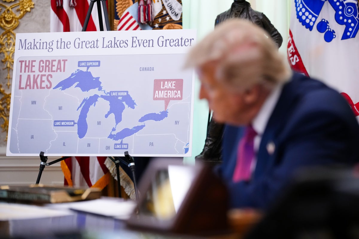
Google Maps has officially updated its digital borders to display Lake Ontario as Lake America for users within the United States. This modification follows an executive order signed by President Donald Trump, which directed federal agencies to alter domestic geographical databases amid an escalating trade dispute with Canada. Under Google's regional policy, users in Canada continue to see Lake Ontario, while international audiences outside both nations are served a dual-label designation.
Corporate mapping platforms have long pretended to act as neutral mirrors of objective reality. They are not. They are geopolitical battlegrounds where code dictates sovereignty, and corporate compliance is weaponized by the state.
The Mechanics of Digital Compliance
When the U.S. Board on Geographic Names through the Geographic Names Information System (GNIS) updates an official federal designation, Silicon Valley faces a quiet crisis of convenience. Google defended its rapid adoption of Lake America by pointing to its long-standing corporate framework of matching official government data sources for domestic users.
It is a procedure identical to the one deployed when the administration ordered the Gulf of Mexico redesignated as the Gulf of America.
Alphabet Inc. has built an empire on the premise of organizing the world's information. Yet, organizing information when two sovereign neighbors disagree fundamentally on what a body of water is called turns a search engine into a diplomat.
Google chose compliance over cartographic consistency. By localizing the view based on IP address and regional settings, the platform avoids a direct collision with Ottawa while satisfying the legal definitions of Washington's executive branch.
The Fallout Across Borders
The digital divide materialized almost immediately. Within hours of the update rolling out across American screens, Canadian state and municipal digital infrastructure began displaying the new American designation. Essential services, including provincial transit finders and utility outage maps operated by third-party vendors, inadvertently pulled the U.S. federal designation because their embedded application programming interfaces defaulted to American regional parameters.
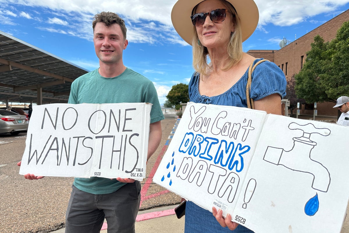
Ontario Premier Doug Ford dismissed the move as political theater, erecting physical billboards along the Canadian shoreline declaring the water's historic identity. Canadian Prime Minister Mark Carney emphasized that the name Ontario derives from the Wendat word Ontari'io, meaning beautiful and big water, predating both modern nations by centuries.
Yet local defiance matters little to global server architecture. When a private corporation controls the primary window through which citizens view their geography, state boundaries become software configurations.
Alternative Platforms Hold the Line
Not every digital map bowed to the stroke of a presidential pen. Competitors such as MapQuest publicly announced they would refuse to adopt the change, rolling out alternative interactive tools allowing users to countermand official declarations.
Apple Maps maintained its traditional labeling through the initial rollout, highlighting a fractured digital landscape where navigating North America depends entirely on which application a user opens on their mobile device.
Google's fallback defense rests on technical parameters. Developers embedding maps can manually lock their regional settings to Canada to force the traditional name, but default behaviors dictate public perception.
The Precedent of Digital Nationalism
Geographic renaming is an ancient political tool. Modern software has merely automated the erasure. When code obeys executive fiat, physical reality yields to digital jurisdiction.
The lake remains bound by the same shores, fed by the same rivers, and shared by the same two economies locked in a tariff war. But on millions of screens across the border, the water has already shifted nationalities.
Borders are no longer drawn solely with ink on parchment, but with conditional logic inside proprietary databases, waiting for the next executive order to rewrite the earth