When Environment Canada rolls out a redesigned warning architecture for severe weather, the press release usually sounds like a victory lap. Bureaucrats talk about modernization, clearer communication pathways, and streamlined digital feeds designed to reach citizens faster than ever before.
They talk about the new alert system.
They rarely talk about why the old one failed so consistently during the storms that mattered most.
For decades, the national meteorological agency has struggled with a fundamental friction point. Meteorology is an exact science wrapped in probabilistic guesswork, but public safety demands absolute certainty. When a squall line tears across the southern Ontario agricultural belt or an atmospheric river dumps a month of rain onto a vulnerable British Columbia valley, the distance between data collection and public comprehension widens into a dangerous chasm.
The agency's fresh notification framework attempts to bridge that gap through granular geographic targeting and simplified tiering. Yet, rewriting the notification text does nothing to fix the aging radar network tracking the storm. It fails to address the chronic shortage of forecasters working overnight shifts in regional weather centers. A better label on a broken product remains a broken product.
The Architecture of a Weather Warning
To understand why a software update or a UI redesign cannot magically solve Canada's atmospheric safety crisis, you have to look at the machinery humming behind the scenes.
Environment Canada relies on a patchwork of Doppler radar stations, surface observation sites, and numerical weather prediction models run on massive supercomputers. These systems ingest billions of data points daily. They simulate atmospheric pressure, thermodynamic instability, and wind shear vectors to predict where a cumulonimbus cloud will spawn a tornado or drop destructive hail.
The problem is not the math. The problem is the blind spots.
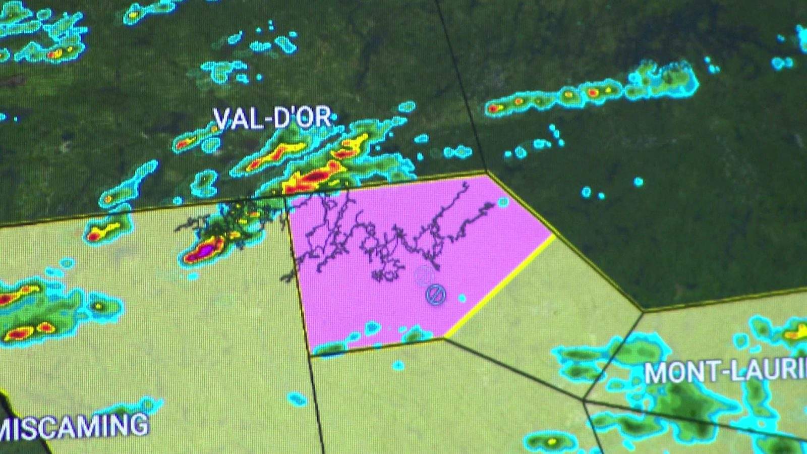
Large swaths of northern and rural Canada have sparse radar coverage. A storm can spin up, intensify, and dissipate over the boreal forest or the prairies without ever registering cleanly on a primary radar sweep. Meteorologists must rely on satellite imagery and sparse surface stations, piecing together a puzzle with half the pieces missing.
When a storm hits a populated corridor like the Quebec City-Windsor corridor, the issue shifts from data scarcity to data interpretation under extreme pressure. A lone forecaster might be responsible for monitoring an entire province while severe weather parameters erupt simultaneously in three different directions.
They do not have time to craft nuanced, context-rich bulletins. They rely on templates. They push the red button because missing a real threat carries career-ending political fallout, even if the false alarm rate climbs.
Why Better Notifications Fail Human Psychology
Citizens do not read weather bulletins like policy papers. They scan them while driving, cooking, or managing terrified children while the wind tears shingles off the roof.
The updated notification system introduces tiered alerts meant to differentiate between a severe thunderstorm watch, a warning, and a catastrophic emergency. In theory, this helps people calibrate their response.
In practice, alert fatigue is a well-documented psychological phenomenon. When every summer afternoon brings a flurry of yellow and red warnings for routine heavy rain, people stop checking the radar. They mute their phones. They treat the warnings as background noise.
This is the boy-who-cried-wolf dilemma engineered by algorithmic efficiency. By expanding the criteria for severe weather warnings to cover broader geographic zones to minimize liability, the agency trains the public to ignore the very signals designed to save their lives.
A hypothetical example illustrates the breakdown: A forecaster issues a broad severe thunderstorm warning for a massive regional municipality because radar indicates a wind gust potential of 90 kilometers per hour somewhere within a five-thousand-square-kilometer zone. Three hundred thousand people receive a screeching alert on their mobile devices. In reality, the high winds hit a strip of empty farmland, while the downtown core experiences a gentle breeze. Three hundred thousand citizens learn that the warning system exaggerated the threat. The next time a genuine derecho forms, carrying 130-kilometer-per-hour winds capable of leveling utility poles, a significant percentage of those same people will roll over in bed and go back to sleep.
The Institutional Blind Spot
Bureaucratic inertia resists fundamental reform. It is much easier to commission a marketing agency to design cleaner warning graphics than it is to lobby the Treasury Board for a multi-billion-dollar overhaul of the radar network and a 40 percent expansion of the meteorological workforce.
The federal government loves technological window dressing because it looks proactive on the evening news. A new alert protocol creates a headline. Hiring fifty more radar engineers and investing in high-resolution phased-array radar technology requires long-term capital commitment without immediate political dividends.
Consider the human element inside the forecast offices. Budget cuts over successive administrations have hollowed out regional expertise. Veteran meteorologists who spent decades understanding the idiosyncratic microclimates of the Fraser Valley or the Avalon Peninsula have retired, replaced by contract analysts working under immense stress.
When local knowledge vanishes, forecasting becomes purely mechanical. The human meteorologist stops acting as an analytical filter and starts acting as a relay station for automated computer models. And computer models, for all their processing power, frequently misinterpret local terrain interactions, urban heat islands, and coastal inversions.
The Cost of Inaction
Climate change is not a future projection for Canadian meteorology; it is an active operational stress test.
The atmosphere holds more moisture as global temperatures rise. Convective storms are growing more frequent, more erratic, and more violent. Atmospheric rivers are packing higher volumes of water. The historical baseline data that meteorologists used for decades to calculate return periods for extreme rainfall events is functionally obsolete.
A warning system built for twentieth-century weather patterns cannot cope with twenty-first-century extremes, no matter how many times you change the interface on the mobile application.
If you want a resilient emergency notification network, you must start from the ground up. You fund denser sensor grids in vulnerable watersheds. You pay competitive wages to retain top-tier atmospheric scientists who can interpret anomalous data streams before they manifest as flash floods. You accept that false alarms carry a heavy social cost and refine predictive models to narrow warning zones instead of casting wide nets to cover legal liability.
Until those structural changes happen, minor tweaks to alert formatting are just rearrangements of deck chairs on a sinking ship. The next major storm will not care whether the warning was classified as Tier One or Tier Two. It will simply expose the cracks in the foundation once again.